 Botzees

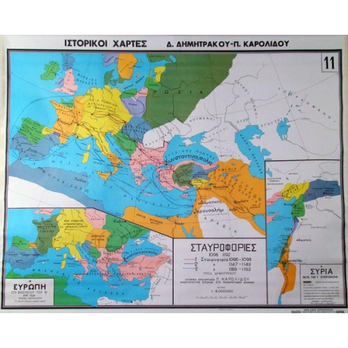
Christian and Mohammedan World Map
- 1st map The Christian and Mohammedan world from the 7th to the 9th century AD
- 2nd map The Greco-Roman world and the new states of Europe during the reign of Heraclius (627 – 632 AD)
The map, which is made of high quality thick paper that protects the colours and excludes gloss, is lined on the back with durable cotton fabric, while the top and bottom of the map are lined with durable pvc bars in the colour of the wood, specially nailed with a special machine.
Dimensions: 100 x 130cm